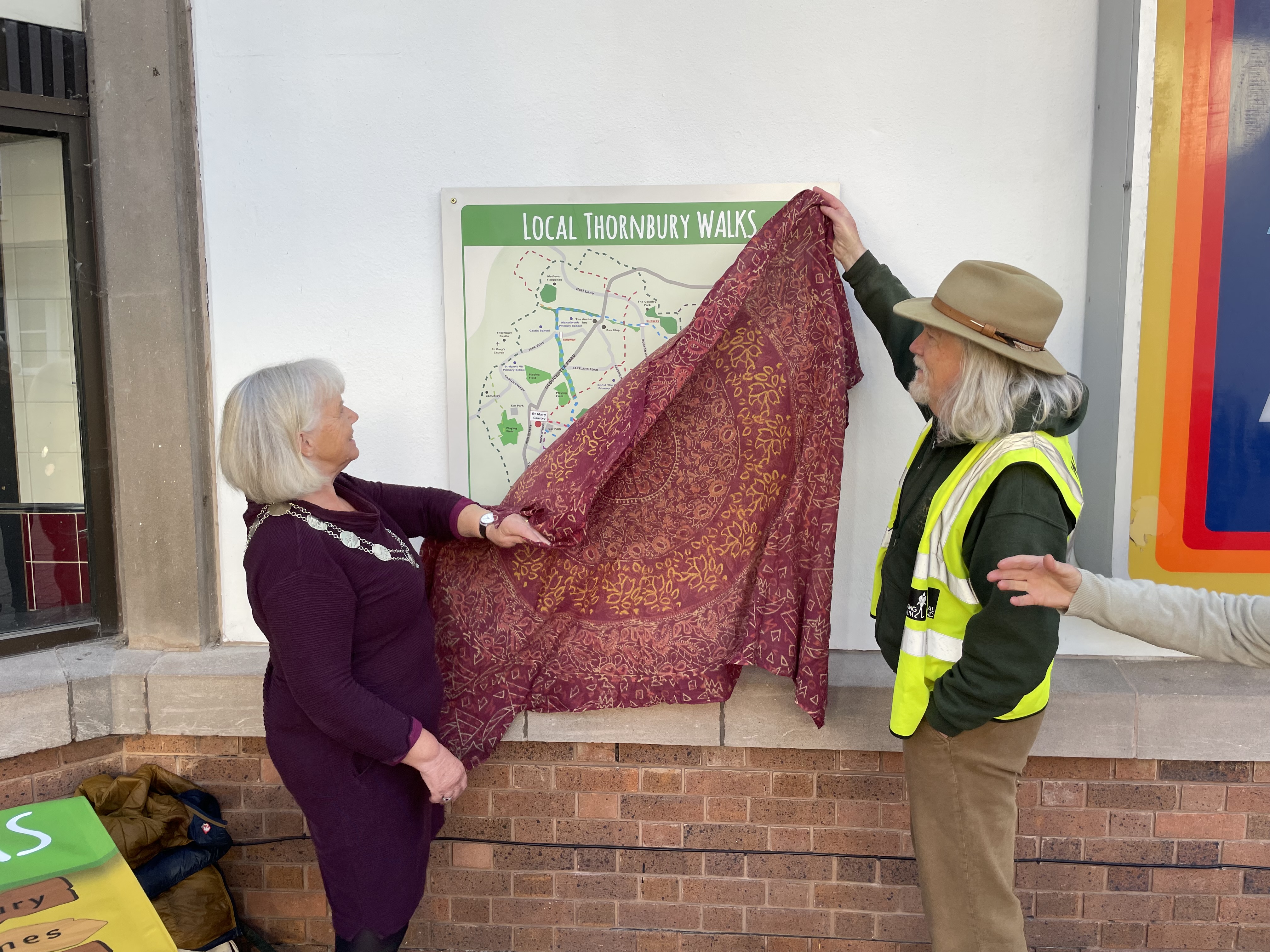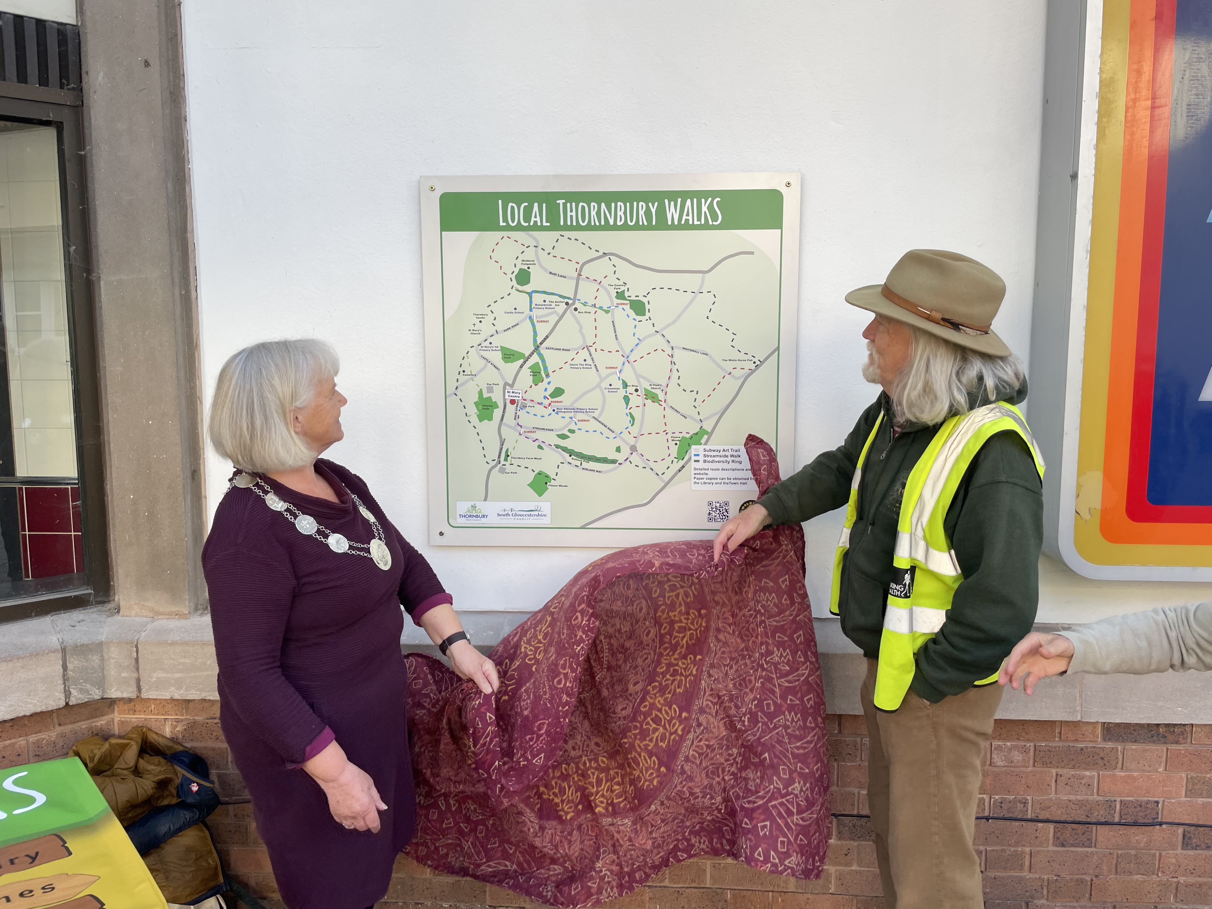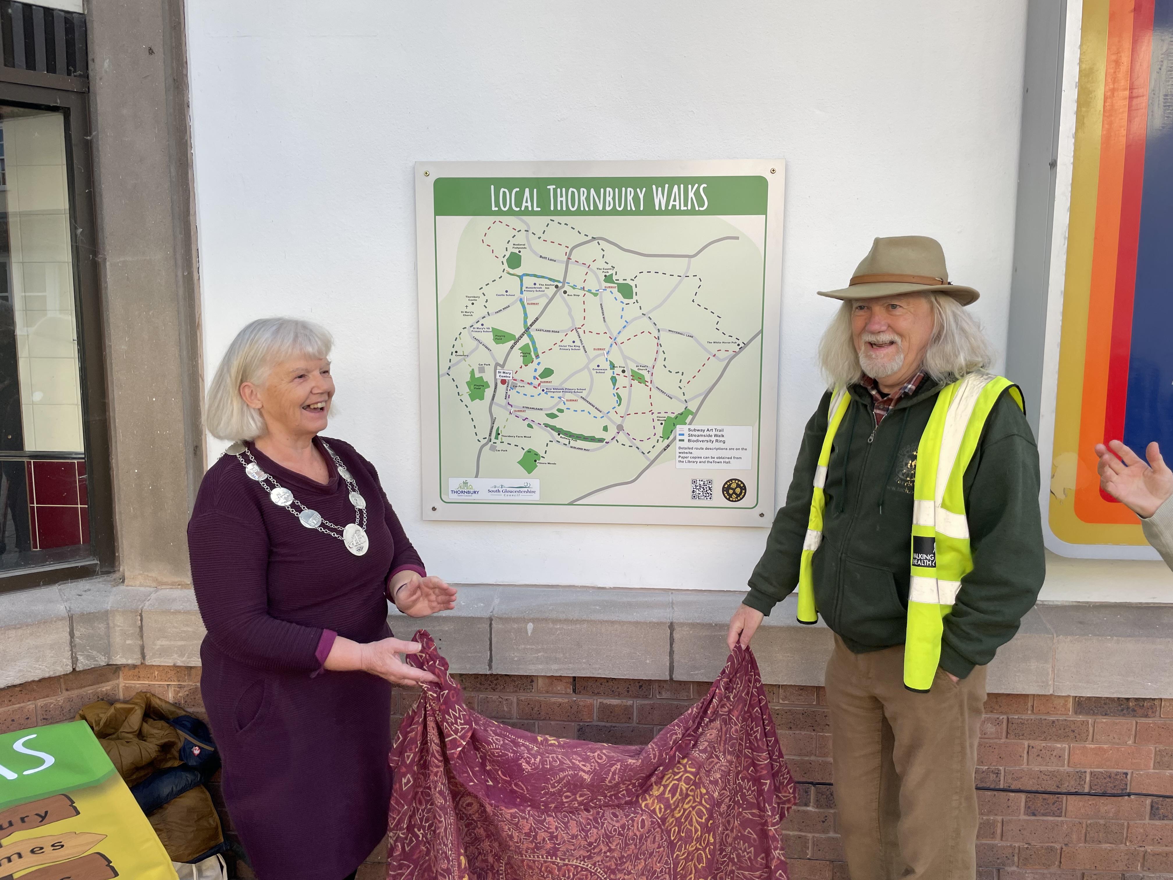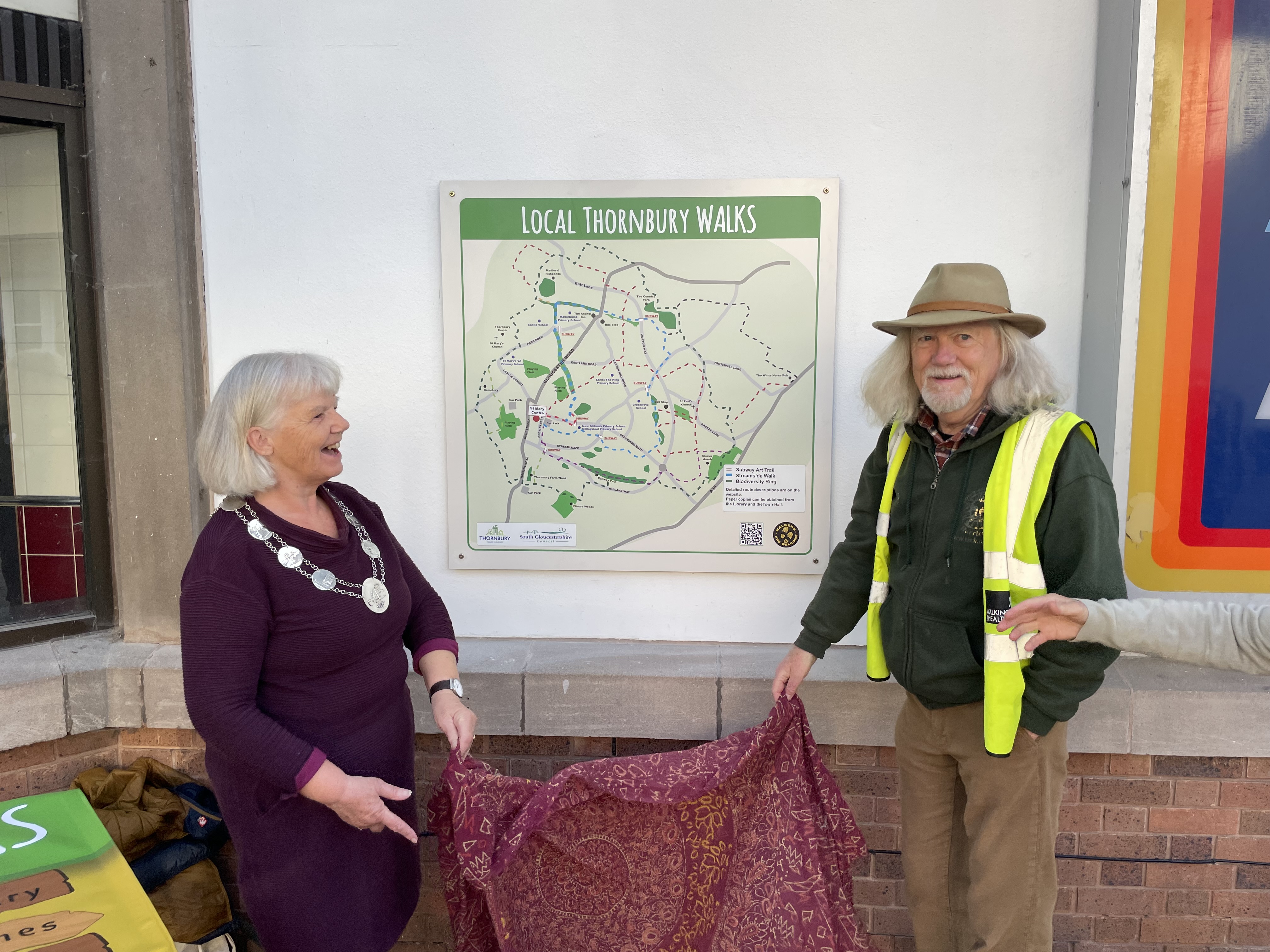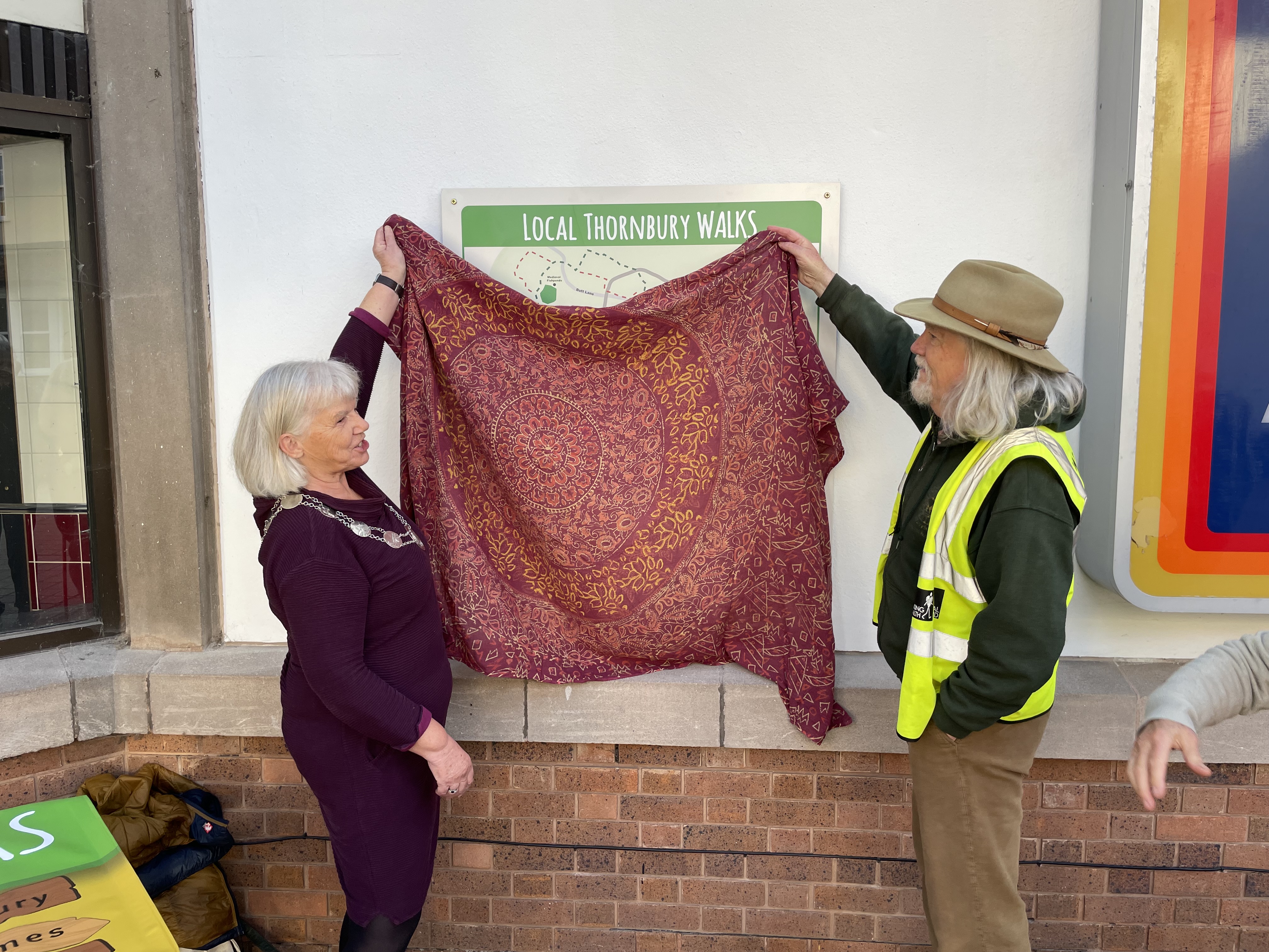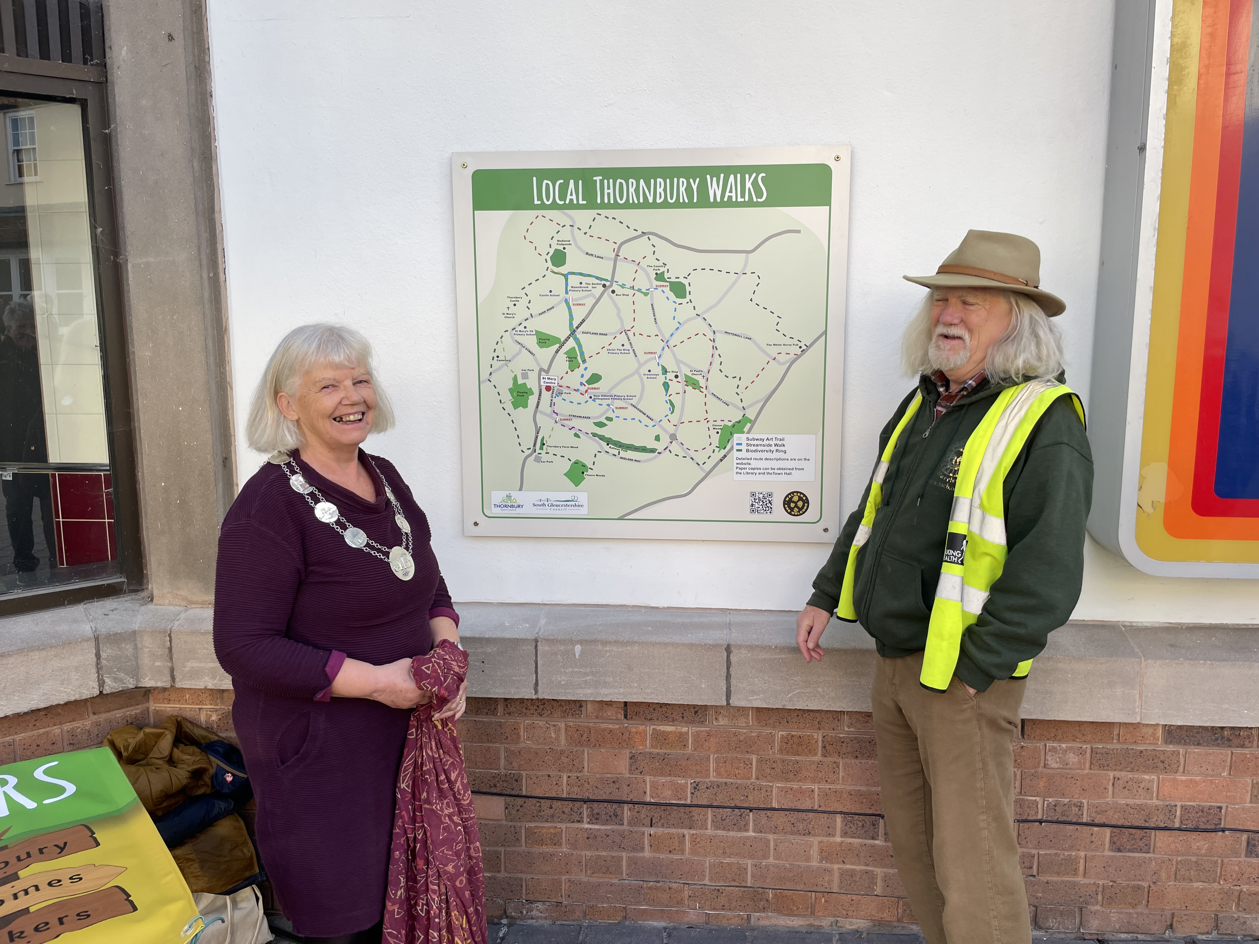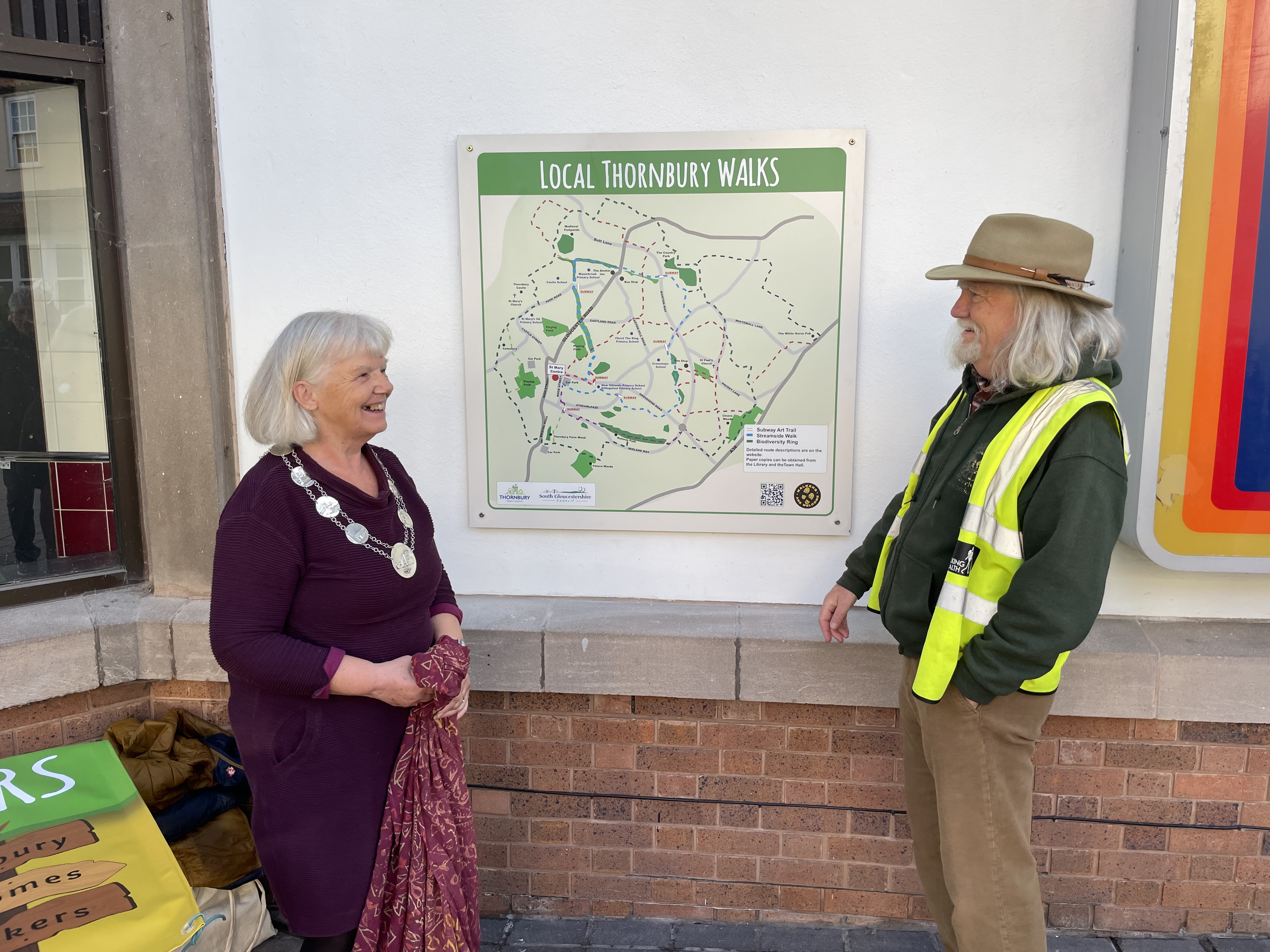
A new map celebrating Thornbury’s walking routes, wildlife and community art has been unveiled at the St Mary Centre, helping residents discover more of what their town has to offer.
The map was officially unveiled by Thornbury Mayor, Councillor Helen Ball, and Councillor Chris Bloor, leader of Thornbury Wayfinders, and can be found next to the Aldi sign in the St Mary Centre.
The map highlights three local features: the Streamside Walk, the Biodiversity Ring and the Subway Murals, showing how they link together and encouraging people to explore the town’s green spaces and public art.
Whether you are looking for a peaceful walk, hoping to spot local wildlife or simply want to discover more of Thornbury, the map offers a useful starting point for exploring the area on foot.
There is plenty more to discover, too. The website Thornbury Afoot features a variety of walks around Thornbury, providing ideas for routes to enjoy and new places to explore.
Next time you visit the St Mary Centre, why not stop by the new map, take a look at the routes and plan your next local walk?